GLDS Expedition: Michigan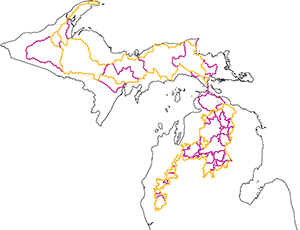
Help
Easy part first, the maps. The maps are PDF files, you’ll need the free Adobe Reader program from Adobe to see/view/print the maps. These maps are high quality, full color jobbies and include ORV trails, public land, county roads, gas stations and more. The main map set is a big download (150+ MB) and is not good for folks on dial-up. You should save the file (right click and Save Link As) and save the file to your computer, then open it.
Next up are the GPS files. These are track logs that we’ve created. There are a “core” set of tracks, named “GLDSEXMIUP” or “LP” depending on if they are for the upper peninsula or lower. The other tracks are named for the area/town/funny story related to them. The other tracks are options. They are what you can use to make smaller loops, connectors or whatever.
There are no “routes”. You will need to make your own based on these tracks or do a “track back” if your GPS supports that feature. Tracks just show as a colored line on your GPS, like a highlighted road on a paper map. They don’t tell you which way to go, just show you.
Waypoints are included for gas stations. We didn’t include lodging/camping information with the first release, let us know if we should include it.
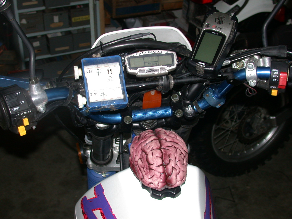
Many GPS units have a limit on the number of tracks they can hold. Modern Garmin units of the mapping/outdoor variety (60CX) can hold 20 tracks at a time. This means you will need to know what your GPS can hold as well as delete some of the tracks from the file on the computer before sending to your GPS.
To make things a little easier, we have offered up a couple varients of the GPS files. First, we have “native” Garmin files (GDB); next we have “universal” files (GPX). If you have Garmin, then go for that, if not, get the GPX file. Best bet is to right click and “Save Link As” and save the file to your computer.
We also offer files with the “extras” already removed. If you are not so sure you can load your GPS let alone delete the extra tracks (the optional courses) then we have files that have just the core files or just the optional pieces.
Finally, if you can’t download the files (connection is too slow or whatever) or don’t want to spend the $$ printing your own maps, you can get a CD and a hard copy of the maps (wire bound booklet) through VVMapping; see link on download page.
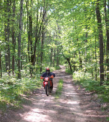 Want to spend a week riding one big loop in the lower peninsula? No problem.
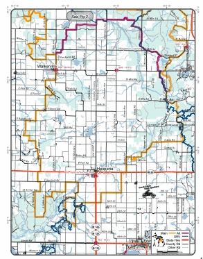
 Download and load up your GPS, fire up your printer and crank out the map pages that you need.
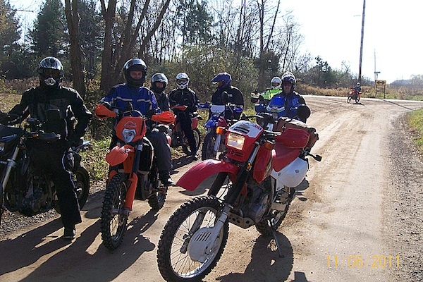
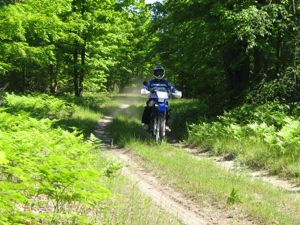
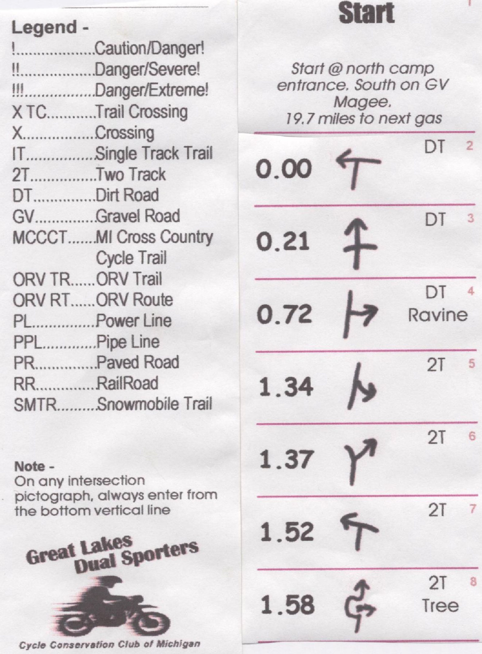
 This is a route sheet ride, we can load your GPS and you will get a map. The route is not arrowed.